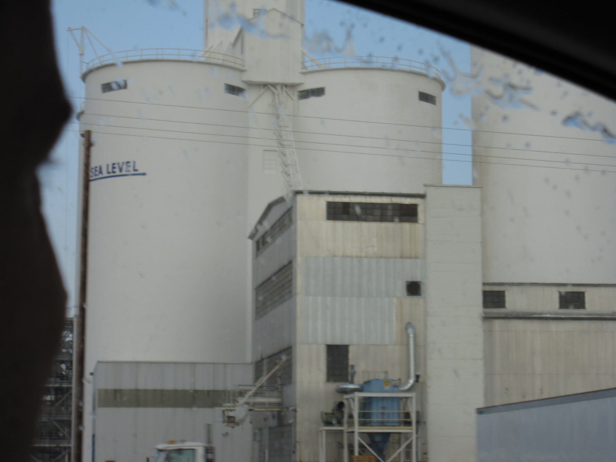
I took the family down to Imperial Valley one day last week. While fleeing a sandstorm http://www.flickr.com/photos/dblume/tags/sandstorm/ my wife quickly caught this photo from the car (in the rain, in August, in Brawley) of the Sea Level marker on the sugar silo. Imperial Valley is almost entirely below sea level.
I also happen to be reading Lucifer's Hammer by Larry Niven and Jerry Pournelle, which coincidently had this bit, where a comet fragment landed in the Sea of Cortez (the Gulf of California), and...
"confined between two shorelines, the wave moves north like the wave front down a shotgun barrel. ... Most of the water leaves the northern end of the Sea of Cortez as a moving white-peaked mountain range. The Imperial Valley, California's second largest agricultural region, might as well have been located in the mouth of a shotgun."
Nice to see my homeland get a mention in print. I guess.

Comments